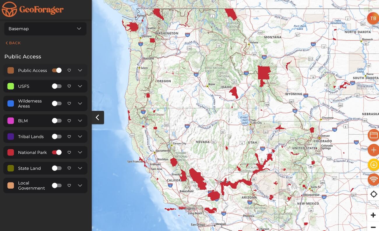
Understanding where you can and can’t forage is important! Geoforager makes it easy to visualize not only public land, but also public land where foraging is not allowed, for example National Parks, Wilderness areas and even Tribal land. Each layer offers full-details, on-click, showing who manages the land and how it is designated.
Land Overlays
- Public Access shows all public land in one easy overlay.
- USFS shows United States Forest Service land, which is typically (but not always, see Wilderness below) open to foraging.
- BLM shows land managed by the Bureau of Land Management which is typically open to foraging.
- Wilderness shows areas designated as Wilderness, which is helpful because often Wilderness areas prohibit foraging. Most Wilderness area are a subset of USFS, but some are subsets of BLM or National Parks too.
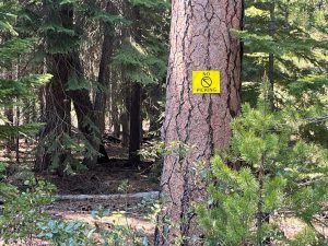
- National Parks typically prohibit any foraging at all, but there are a few exceptions. Make sure you check before you pick!
- State Land varies state-by-state on foraging rules. For instance, it is illegal to forage in Colorado state parks, but legal in Oregon state parks.
- Local Government land, like state, varies from location to location.
- Tribal Lands are important to recognize in many states because they can be easy to stray into as they are often adjacent to public land. Pay attention to these boundaries and respect the rules.
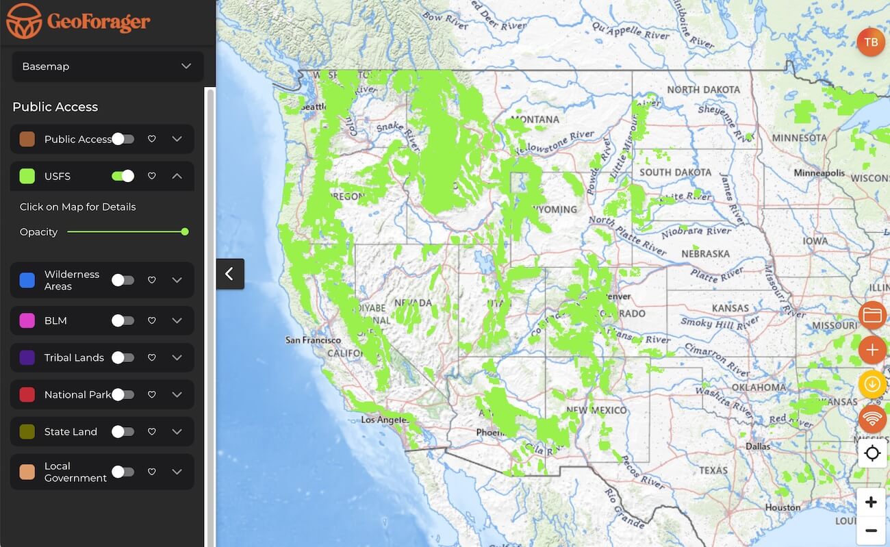
All of these land overlays are available for offline use. Each map can have the opacity adjusted to make the background map full visible, or fully hidden.