
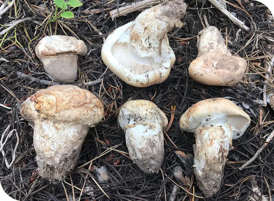
Oregon Mushroom Picking Permits and Regulations
Mushroom foragers in Oregon – and many other states – have to navigate a plethora of rules, regulations ...
Use Markers (Waypoints) to Save Your Favorite Spots
Markers (or Waypoints) let you save specific locations – especially of mushrooms 🙂 – with custom icons, descriptions ...

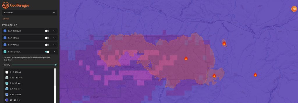
Soil Moisture and Soil Temperature Maps
Soil temperature and soil moisture are essential factors relating to mushrooms – moisture determines IF they will grow, ...

Precipitation Maps Help Find Mushrooms
Most of you know that wild mushrooms are entirely precipitation dependent. The problem with many rain and precipitation ...
Offline Maps Work Even When there is no Cell Signal
Frustratingly, it seems like mushrooms prefer to grow where cell phones cannot access data! So your map app ...

Public and Private Land Maps
Understanding where you can and can’t forage is important! Geoforager makes it easy to visualize not only public ...
Forest and Tree Species Maps
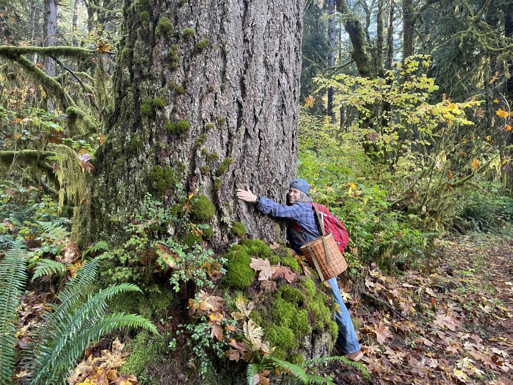
Many of the mushrooms foragers seek have a special relationship with a tree type. We love healthy forests ...

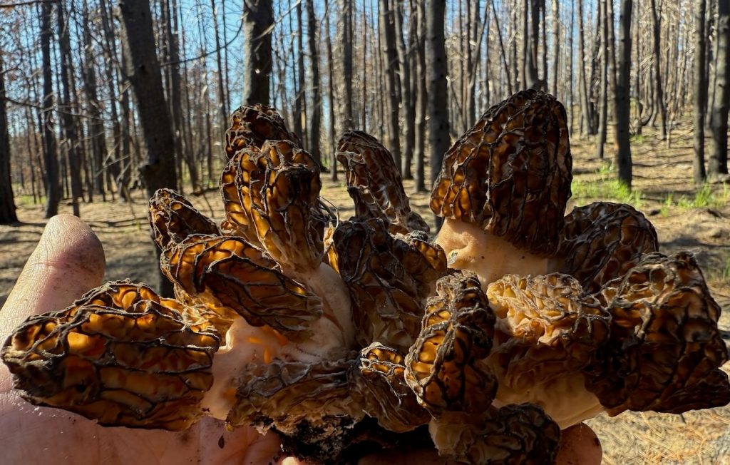
2025 PNW Burn Morel Deep Dive: Williams Mine Fire in Washington
Williams Mine Fire Burn Morel Overview Washington’s Williams Mine fire is 1,300 acres and will be a popular ...
Overview of GeoForager Basemaps & Overlays
Map Overlays Burn Perimeters We currently have burn perimeters for wildfires in the CONUS (the 48 Contiguous US ...